
Introduction
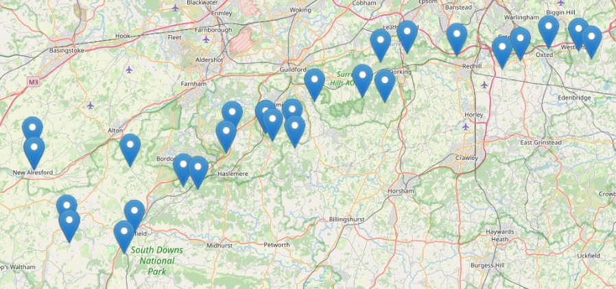
The Surrey and Beyond trail was set up in 2021 to celebrate the tenth anniversary of our Ramblers walking group, SABRE. The SABRE Trail, true to our group's name, reaches beyond Surrey to start in Hampshire (the beautiful scenery of the New Alresford and West Meon areas) and finish at Toys Hill and Westerham area in Kent, whilst taking in a selection of the very best walking spots in our own county enroute, including the Surrey Hills ANOB.
This is NOT a conventional linear trail but rather a series of 40 circular walks – one long and one short – around 20 location points along our chosen 'line' of travel across Hampshire, Surrey and Kent. The walks have been chosen by a selection of our walk leaders with most walks 'self-created' favourites of them; some are 'ready-made' from the Fancy Free website. Permission for this was granted by John Piggott, the founder of Fancy Free, and we thank him for that generosity.
Start point: New Alresford, Hants
Finish point: Westerham, Kent
The Walks
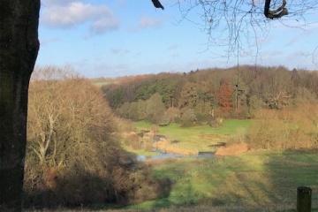
Alresford and Abbotstone Wood (11 miles)
Start point: Abbotstone Wood car park
In the country of the Watercress Railways line, with opportunities to hike along the ancient Ox Drive Way, this flat and lovely walk takes you past mills and millstreams and through charming villages.

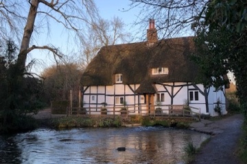
A Short Stroll Around New Alresford (6.5 miles)
Start point: Broad Street in the town centre
A picturesque walk around the outskirts of New Alresford walking along the river Itchen and past one of the oldest eel houses in the country.
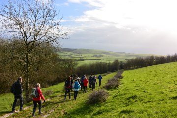
West Meon, Beacon Hill and Exton (8.5 miles)
Start point: Beacon Hill Beeches car park, near Exton and Warnford, Hampshire
This walk goes is in an area of prehistory, with the great bronze-age barrows of Beacon Hill, visited on the way, with high views of Old Winchester Hill and the Solent.
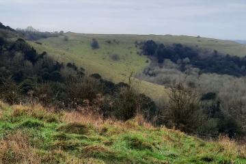
Old Winchester Hill (7 miles)
Start point: Old Winchester Hill car park, Hayden Lane, Meonstoke, Hampshire
A picturesque walk around the Hampshire countryside no villages but nice parts of the Monarch’s Way and the South Downs Way and some lane walking
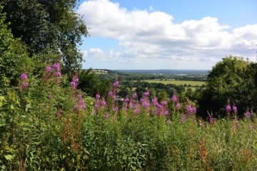
Selborne Common, Noar Hill and the Hawkley Hangers (11 miles)
Start point: Car Park Behind Selbourne Arms Public House
Teaser description required
Selborne Common and Noar Hill (5.5 miles)
Start point: Selborne Village car park on B3006
A beautiful walk from one of Hampshire's most interesting villages, travelling across hills, commons and woodlands, and there's a good pub at the end point.
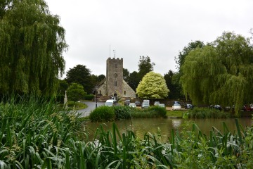
Buriton, Butser and Ramsdean (11 miles)
Start point: Festival Hall car park, Heath Road, Petersfield
A walk through varying landscapes (meadows, woods, open fields, farmland). From Petersfield the walk goes to the picturesque village of Buriton and then climbs up along The Hangers Way to meet the South Downs Way.

Petersfield to Buriton and back (5.2 miles)
Start point: Festival Hall car park, Heath Road, Petersfield
A walk through a mixture of woods, open fields and farmland from Petersfield to the village of Buriton, with its picture postcard pond and village church, and back again.

Walking Iron Hill (11.5 miles)
Start point: Iron Hill car park, Liphook Hampshire
A picturesque walk around the Surrey Sussex Borders with no villages but nice quiet drover tracks and some lane walking.

Liphook and Weavers Down (5.4 miles)
Start point: Liphook Station car park
A scenic walk through woodland and common land taking in the picturesque Folly Pond and Forest Mere before climbing gently up to Weavers Down, returning via Shipwrights Way
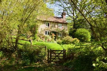
Up, Down and Around the Devil’s Punchbowl (8 miles)
Start point: The National Trust car park at Hindhead GU26 6AB
This beautiful walk takes you on a hilly trail around the Devil’s Punchbowl, offering panoramic views en route, and dipping down into Haslemere town.
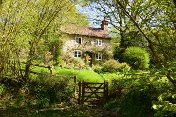
Devil's Punch Bowl (5 miles)
Start point: Devil’s Punch Bowl NT car park, London Road, Hindhead
A scenic walk out to Gibbet Hill to see some of the best views in Surrey. Then along the Greensand way and across the common to the Devil's Punch Bowl.
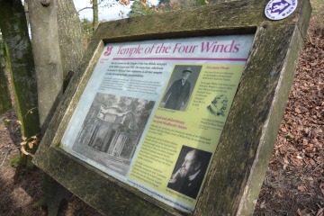
Thursley, Gibbet Hill and Hindhead (9.7 miles)
Start point: Recreation Ground on Dyehouse Road, Thursley, Surrey
This is quite a hilly walk. You will enjoy attractive farmland near Thursley and long views from Gibbet Hill, Temple of the Four Winds and Hindhead. and some attractive woodland and wooded valleys.
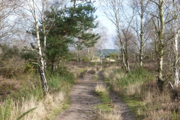
Smallbrook, Bowlhead Green and Emley Farm (6 miles)
Start point: Recreation Ground on Dyehouse Road, Thursley, Surrey
A wander through the farmland south of Thursley, enjoying the wooded valleys, streams and pond bays this part of Surrey has to offer.
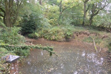
Sweetwater and the Holy Well (10.5 miles)
Start point: Witley Station, postcode GU8 5TB
A circular walk through some of the remotest sections of South West Surrey. Along the way, you visit a placid lake, some heathland and, as if by chance a precious holy well.
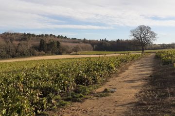
Wormley Wander (4 miles)
Start point: Sweetwater Pond car park, Culmer Lane, Wormley
An easy walk through light woodland and quiet lanes, starting near Enton, skirting the edges of Witley, Sandhills and Wormley, and passing Hambledon Village Shop which does tea and cake
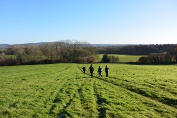
Shamley Green Long Circular (8.5 miles)
Start point: The centre of Shamley Green village
This walk goes uphill through beautiful fields and woods to reach the village of Blackheath. From there follow the trail to reach and then climb Chinthurst Hill to admire the views. Return via Downs link and Greensand Way
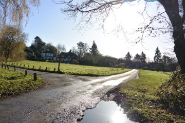
Shamley Green Circular (5 miles)
Start point: Shamley Green itself
A lovely walk from Shamley Green through farmland and woodland to Blackheath's heathland, through the village of Blackheath and back past an old mill to Shamley Green.

Dunsfold, Hambledon, Hascombe (12 miles)
Start point: car park opposite the White Horse pub, Hascombe. GU8 4JA
This is a deeply satisfying walk through the best of the woodland and hills of southwest Surrey
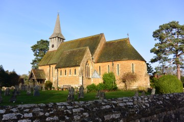
Hascombe and Hydon’s Ball (5 miles)
Start point: car park opposite the White Horse pub, Hascombe. GU8 4JA
A gentle and varied walk with only two ascents, passing through some beautiful woodland. It is a good walk at any time of the year, but especially in the spring because of the lambs and the bluebells.
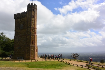
Most of the Surrey Hills (12.5miles)
Start point: Walking Bottom Car park, Peaslake
A walk in the Surrey Hills using forest trails, paths, and a fair chunk of the Greensand Way.
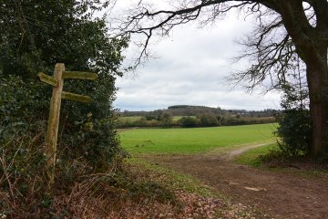
Peaslake and Albury Heath (5 miles)
Start point: The car park behind the Hurtwood Inn
A short walk across some great Surrey countryside, walking along part of the Greensand Way to go through farmland and woods and up some (small) hills.
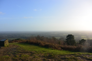
Holmbury St Mary and the Greensand Ridge (10 miles)
Start point: Holmbury St Mary car park
This walk, sometimes called the Four Peeks (sic) Walk starts in the picturesque village of Holmbury St Mary and takes in four Surrey hilltops.
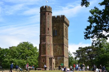
Holmbury St Mary to Leith Hill and back (7.5 miles)
Start point: Park around the green in Holmbury St Mary
This walk goes from the picturesque village of Holmbury St Mary along part of the Greensand Way to reach the heights of Leith Hill and – on a clear day – views far across the South Downs to the sea.

Ranmore Common and Abinger Roughs (11miles)
Start point: Denbies Heights car park, Ranmore Common Road
A picturesque walk along part of the North Downs Way, down and on into the Abinger Roughs area to Abinger Hatch and then back through Wotton Hatch and up onto the Downs to the car park at Denbies Heights
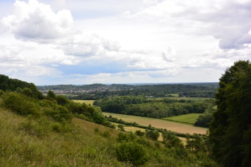
A North Downs Stroll (5 miles)
Start point: Denbies Heights car park, Ranmore Common Road
A picturesque walk from Ranmore Common along part of the North Downs Way. The way then climbs down to the Wotton Hatch area, with a possible pub stop or a visit to a picturesque church en route.
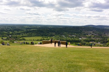
The Box Hill Hike (8 miles)
Start point: The National Trust Visitors' Centre, Box Hill.
This is the classic circular hike up and around the Box Hill area, climbing more than a few hills and dropping down into deep valleys
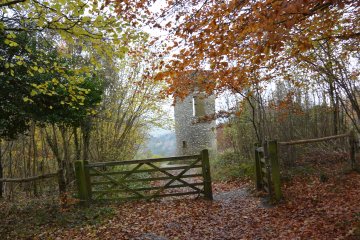
Box Hill, Mole Valley, Mickleham Downs (4.5 miles)
Start point: Whitehill Car Park, near Mickleham RH5 6DF.
This short walk gives an overview of many of the best parts of Box Hill and the surrounding countryside. Hilly but well worth the effort.
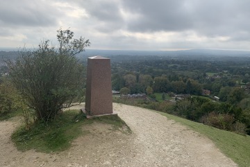
Pilgrims Way and Mole Villages (12.5 miles)
Start point: Margery Wood National Trust car park. (Small parking charge for non-NT members).
An invigorating walk in two parts: the hills of the North Downs with fine views and then the villages, oaks and gentle meanders of the River Mole.
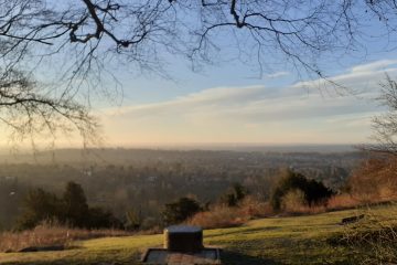
Reigate Hill and Gatton Park (7 miles, but can be shortened to 4.5 or 3)
Starting point: Margery Wood car park, off A217. KT20 7BD
A bracing walk over the North Downs with fine views, handsome parkland, deep forest and one fine pub (the Yew Tree) en route. The full 7 mile walk can be shortened to 4.5 or 3 miles by starting from a different car park (see details on the Fancy Free website).
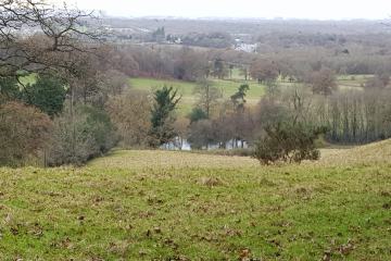
Bletchingley and Outwood (11 miles)
Start point: Castle Square, Bletchingley
An interesting and varied walk from Bletchingley to Outwood and back
Bletchingley and South Nutfield Stroll (5 miles)
Start point: By the gate of the Norman Parish Church in Bletchingley
Starting in the historic village of Bletchingley, the walk goes past the site of the ruined mote and bailey castle on the hill, down to the village of South Nutfield and across level fields where cows and sheep graze peacefully
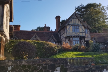
Godstone and Bletchingley (10 miles)
Starting point: Tilburstow Hill car park, Rabies Heath Road
The walk starts high on Tilburstow Hill, situated on the Greensand Ridge to the south east of the village of Godstone in Surrey. Following the Greensand Way for a good potion of the route, the walk passes through Godstone and Bletchingley. A varied and charming walk
A Stroll around Godstone (4 miles)
Starting point: near Godstone Church RH9 8BW
This short but picturesque walk leads you around Godstone, the home town of the Victorian architect, Gilbert Scott.
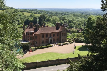
Limpsfield, Westerham and the Greensand Ridge (11.5 miles)
Start point: New Road car park, Limpsfield Chart
The first part of this walk follows the wooded Greensand hills before heading into Westerham. The walk then follows the Darent Valley before heading up to the wooded Crockhamhill Common and then on to Chartwell via Mariners Hill.
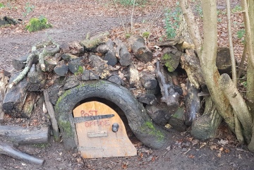
Walking around Limpsfield (7 miles)
Start point: Limpsfield Chart Golf Club
This short walk takes you from the Limpsfield Chart golf course through Limpsfield Common and on to the 16th century Tenchleys Manor with great views across the weald to the South Downs. The walk takes you on parts of the Vanguard Way, Greensand Way and Tandridge Border Path.
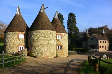
Out and About in Toys Hill and Ide Hill (11.6 miles)
Start point: Hosey Hill car park Westerham
A ten-mile mixed walk of farmland, woodland, Kent villages and NT properties as we walk past Chartwell and Toys Hill, using the Greensands Way to climb steeply to Ide Hill village green

Toys Hill Explorer (4 miles)
Start point: National Trust car park at Toys Hill, Chart Lane.
With breath taking views across Kent, Toys Hill, one of the places that inspired Octavia Hill to found the National Trust, is just the place to take a walk at any time of the year. This short 4-mile walk takes you through the best of the surrounding countryside
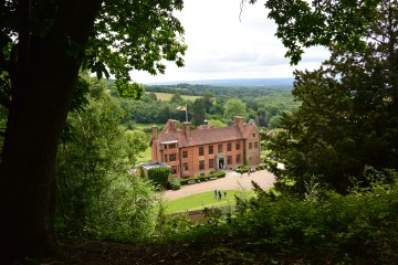
Westerham Walk (10 miles)
Start point: Toys Hill Car park, National Trust, Toys Hill Road, Westerham
Circular walk around the Kent hills of Westerham skirting Chartwell.
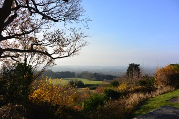
Westerham Stroll (7 miles)
Start point: Hosey Hill car park Westerham
This is a beautiful, hilly circular walk in the Kent hills around the historic town of Westerham.
Thanks go to SABRE Walk Leaders, Committee Members and Webmaster for their contributions not just in offering their walks for the SABRE Trail but all that they do for SABRE. Alan H, Ann, Brian, Charlotte G, Christopher B, Clair B, David LeQ, Derek, Gabe, James, Jeanie, Kim, Lorraine, Mike B, Nigel W, Roger S, Shaun, Shirley, Sue H, Sue W and Syd.